Law enforcement agencies are adopting versatile aerial robots to aid in incident response, rapid mapping, and scouting to facilitate informed actions while also ensuring maximal safety for officers and bystanders.
Law Enforcement Key Benefits
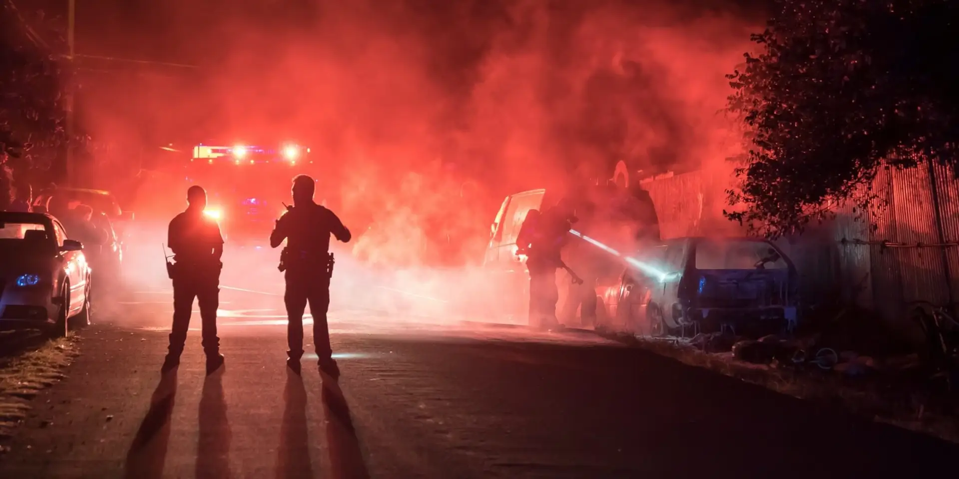
Mission Situational Awareness
Provide incident commanders with accurate, real-time insight as missions unfold, empowering decisions to be made with confidence.
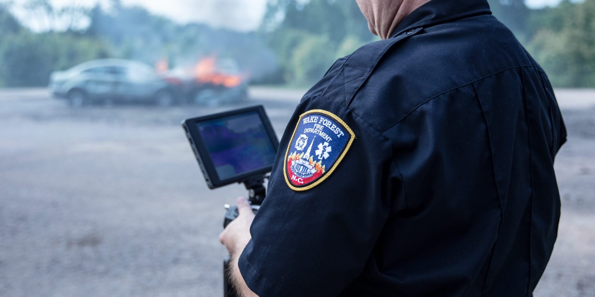
Collision Reconstruction and Forensics
Rapidly and remotely map, document, and preserve crime scenes, vehicle collisions, and more, while simultaneously keeping operators from harm’s way.
Mission Situational Awareness
Traditional Challenges For Mission Situational Awareness
Without comprehensive mission data, ground teams contend with blind-spots and are exposed to unecessary risk.
Deficient situational intelligence hinders the efficient allocation of resources to maximize safety and minimize response time.
How Drones Elevate Mission Situational Awareness
Deploy to rapidly arrive on scene and gain immediate aerial insights.
Hover above unfolding missions and live stream updates directly to command centers.
Synchronize teams, eliminate uncertanty, and allow decisions to be made with confidence.
We will keep you up to date with more stories about drones and other relevant updates. If you are interested in purchasing any of our solutions, you can contact us for further information.